GPSFileDepot.com
 

News:

Welcome to GPSFileDepot!

Main Menu
Menu

Show posts

This section allows you to view all posts made by this member. Note that you can only see posts made in areas you currently have access to.

Show posts Menu

Messages - Brek

#1
I patched my firmware and blew my warranty, unlocked my commercial map product, which is legitimately purchased (Australia & NZ Topo V5) because Garmin's site consumed the product key, but it didn't actually unlock the maps for either viewing on the PC or using on my GPS.

I still don't know of a solution to get it working any other way.

Furthermore, I registered on Garmin's forum to get help, and the registration worked.
My nickname is in the top right hand corner when I'm logged in and all, but I can't post threads
in any forum section to ask for help :rolleyes:

Furthermore, Garmin's phone service hours are business hours, so how does that work if you have a job?

I remember telling myself ten years ago when I was way into GPS and hiking, to avoid using Garmin's Windows software as far as possible.
If anything has changed since then, I think it's gotten worse.
#2
General Discussion / Re: Unusual use for a GPS
September 30, 2018, 06:07:08 PM
It's dead easy to find the old CN product and replace the new one, but I don't know this site's policy on that stuff, so you're on your own.

Doesn't the new update just overwrite the old map with exactly the same file name?
"gmaprom.img" or similar? Why wouldn't it be overwritten?

For the ordinary customer who has less than 35 years programming experience, that would be confusing to leave every previous version on the device.

#3
I think maybe becoming familiar with old tools again is the hard part.
I have MetroGuide and City Navigator CDs both for Australia, and both the same year,
but for City Navigator, lost the CD and just have the CD case, and image from an SD card.

I still wonder, without routing data, what the MetroGuide product was even good for!
I got that with a Legend which probably couldn't do routing,
but then forget why I wanted road maps on it at all... got a 60csx very shortly after.

I figure for those two, they'd both install the same version of MapSource on a PC that doesn't have it.

The latest routing map I have came out of a Nuvi after it broke, but still a few years old.
I might get adventurous and try that, but this is mainly for outback driving where roads don't
change much over time anyway... I just have a phone app for the usual city driving.

#4
It works! D

I used gmaptool to slit the gmapsupp.img file into it's components,
then ran the bat file it produced to install to MapSource.

Funny, the map set didn't show up to be selected in my old version MapSource,
but Garmin's other program to send maps did see it, and it's all go from there!

So in theory, it should be possible to stick fully updated maps on there.
#5
Hi Boyd,
Yes it's a hassle. IIRC, there was an unlocker, and I'm sure I'd have had the forethought to do that for the compiled gmapsupp.img files that I backed up.
I've found the MetroGuide CD but that doesn't autoroute, and I've found the City Navigator case without the CD itself lol.

I had a fiddle last night with an img file splitter, and another tool to install that to MapSource,
which is how I got this topographic on the device that I made myself.
For the City Navigator maps though, everything appears to work until I select that map set in MapSource, and it tells me something is wrong with the map.
Maybe these tools had issues with auto routing map sets?

Funny now that even if I wanted to install MetroGuide from my CD (which I don't),
that would probably not work now as you said, and I'd need hack tools to do it.

As a last resort I might buy this Garmin Data Card USB reader and hope that the file on it
is the same old gmapsupp.img file that can simply be written from the file I have.
If not, I guess I'm boned.
#6
Well kind of... This deleted the City Navigator product.
#7
Hello :)
I have a prebuilt gpsmapsupp.img file (if I got that right) that I built some time ago for a 60csx.
It contains CityNavigator with routing data, and also a custom topographic map, all in one image.

For the 60csx, I could just write that to the SD card, and that's the end of the story.

Now I have an older GPS that I'd like to load the same image to if that's possible.
It's a StreetPilot III with Garmin data card, and only a serial interface.
Is there a tool that will bypass Mapsource, and just serially send the prebuilt file?

I do own license for all of this. The image was originally done with my own CityNavigator,
and I can't actually remember how I got the extra custom map into the same image (maybe MapSource supported that).

Cheers, Brek.

#8
Still not bad 60csx.
Are the bottom two examples the same display resolution as the images you posted appear to be?
I wonder if they cheated on interpolation for the display, or rounding with integers somewhere for a slower processor.
#9
Nice :)
There was a program about that converted sat imagery to vector map, presumably using polys.
I did a sat map that even worked with 60csx.
Long time to render, but better than expected result once the screen was drawn.

#10
Map Making Support / Re: Copy GPX waypoints to new map?
December 10, 2017, 06:37:40 PM
Ok thanks.. I went about it the long way, with a program, but it worked fine :D
#11
Map Making Support / Re: Copy GPX waypoints to new map?
December 10, 2017, 04:19:42 AM
Hi :) No, I want to create a map file using a GPX file as the data for the POIs.
One of those programs might do it though, Thanks :)
#12
Map Making Support / Copy GPX waypoints to new map?
December 06, 2017, 03:41:37 AM
Hi Guys :)
I have a GPS track log file full of waypoints that opens with GPSMapEdit software,
but I'm wondering if there's a way to import that as map POIs to be exported as a map?

Right now, the only way I can see to do it is to create new points manually using the GPX
file points as an overlay, but there are many points.
Cheers, Brek.
#13
Map Making Support / Re: Simplifying World Map
January 25, 2017, 06:02:11 PM
Hi.. Thanks guys :)
There’s a bit of a demo of it in action here: https://www.youtube.com/watch?v=qEyZdGWASl8
That’s a bit of time ago, I’ve since done map rotation to bearing, and speed improvements, etc.
There are other videos surrounding it that would bore anyone to tears unless into electronics/programming.

The idea for the world map is to replace the file browser for detail maps.
As anyone here would know you select a detail map by zooming into a large area map,
and the detail map for the area is selected so the user never deals with a file browser.

The next one I want to do with colour OLED display, mainly so the MP3 player can display cover art,
but first things first.

RoboMatt... I’ve had no luck finding him. Might have to look for another sample map file.

#14
Map Making Support / Re: Simplifying World Map
January 24, 2017, 09:07:30 AM
Ah crap! if they are too big go ahead and delete them :D
#15
Map Making Support / Re: Simplifying World Map
January 24, 2017, 09:02:01 AM
Hi again,
I don’t think the source data for the world map can be made clean any easier than starting
with some other data. I do think it’s robotically produced from image data,
or the continent edges wouldn’t be the way they are.
You can see what I mean by simply choosing any continent of the overall map image,
and zooming in as far as you can to any coastline.
There are many areas made up of many small lines, many of which are just
a few points long. That presents problems in my situation when you zoom out far enough.

Cgpsmapedit deals with this somehow by not drawing small lines at very low zoom.
When you view the whole world, a lot of small islands become invisible.

The GPS project is both software and hardware. So far I haven’t found anyone in the world
who has completed a vector mapping GPS down to chips and wire.
There’s nobody to distribute the maps to ;) 
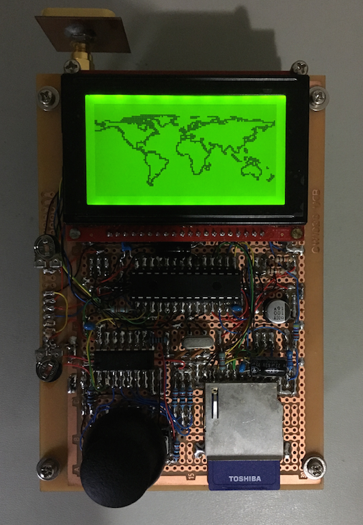
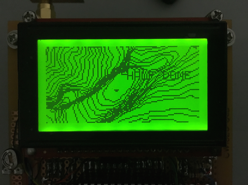
It performs similar to Garmin eTrex Legend.

If I do not make these modifications the world map displays as a complete mess.
You can see the difference between the World and Yosemite topo. The Yosemite too is made
of single clean lines that display that way. Even getting the world down to approx 300Kb,
it’s still pretty messy. The Yosemite data is unmodified.