This look like the same sort of error I found 2 years back for the NV maps near Desatoya Twins
Below is a screenshot for ExpertGPS of tracks that I know go to the summit of Humphreys Peak; check the dark blue track:
http://hwstock.org/err/realhump.jpg
Now here is the screen shot for the same track on the Garmin 62sc:
http://hwstock.org/err/62stc.jpg
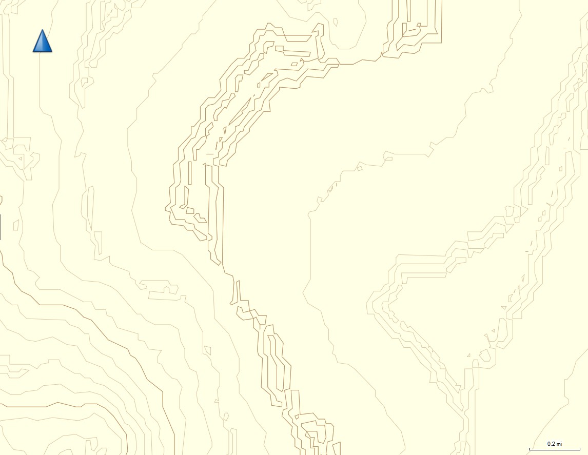
The caltopo map contours are displaced by about 300' in x-y
I haven't figured out what caused the error. The contours for nearby Mt Emerson are right on the spot; that's on the next topo sheet (24k) south.
Below is a screenshot for ExpertGPS of tracks that I know go to the summit of Humphreys Peak; check the dark blue track:
http://hwstock.org/err/realhump.jpg
Now here is the screen shot for the same track on the Garmin 62sc:
http://hwstock.org/err/62stc.jpg
The caltopo map contours are displaced by about 300' in x-y
I haven't figured out what caused the error. The contours for nearby Mt Emerson are right on the spot; that's on the next topo sheet (24k) south.